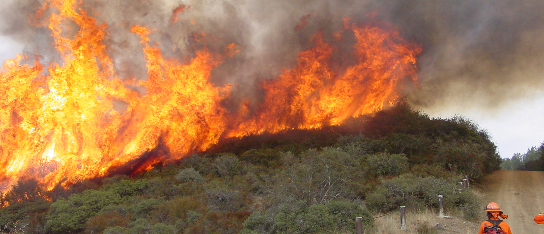
The Southern California Ecosystem Services Tool (SoCal EcoServe) developed by the USDA Forest Service is a web mapping tool designed to quantify and report on ecosystem services and the impacts of wildfire on ecosystem services in the National Forests of southern California - the San Bernardino, Cleveland, Angeles, and Los Padres National Forests.
Get Started
SoCal EcoServe is a web mapping tool that allows users to access and query data on ecosystem services compiled for southern California. Ecosystem services include: carbon storage, water runoff, groundwater recharge, sediment erosion, recreation, and biodiversity. The tool includes methods to quantify the impacts of wildfire on each service (except biodiversity). Data of pre- and post-fire conditions are shown in maps, graphs, and tables which can be downloaded. Data descriptions and methods can be accessed through links provided in the SoCal EcoServe tool and are described in the Case Study of the Thomas fire (2017).


